Today I biked 66km through the “Naturpark Hohe Mark” when I found this near Reken:


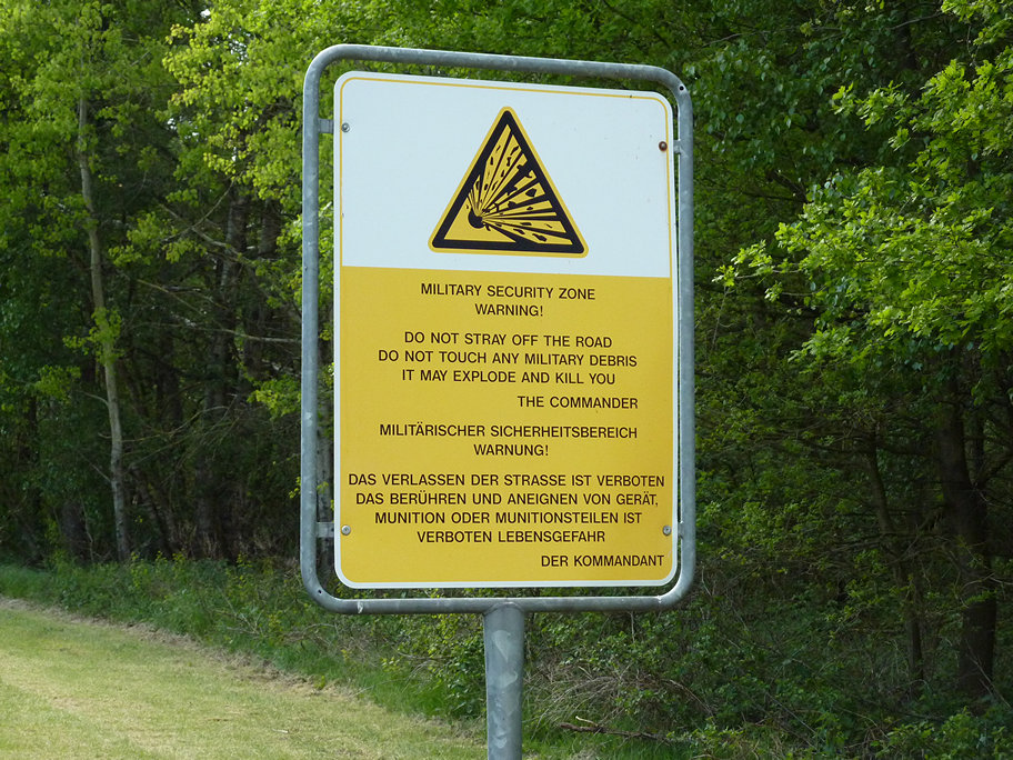
(The last “explosive” picture was taken further to the east at Borkenberge)
Turns out that this is an abandoned ammunition depot. Use Google Earth/Maps to check out its size:
View Larger Map / Vergrößern
At least I do hope it is abandonded (as a search on local news sites told me) because security was rather… absent. (ABUS locks are quite good though!) That being said I just have to add that the picture were taken from a publicly accessible hiking path. And yes, all the lights were out (Licht aus!).


0 Comments.